Videos
Images
Templates
Audio
Customize (Preview)
Pricing
Sell
Main menu
Videos
Images
Templates
Audio
Customize (Preview)
Explore plans
All
Images
Videos
Audio
Templates
3D
Free
Premium
My Libraries
Generate variations
Save to Library
Download Preview
...
Edit
Generate variations
Save to Library
Download Preview
File #:
335554920
Find Similar
Report Issue
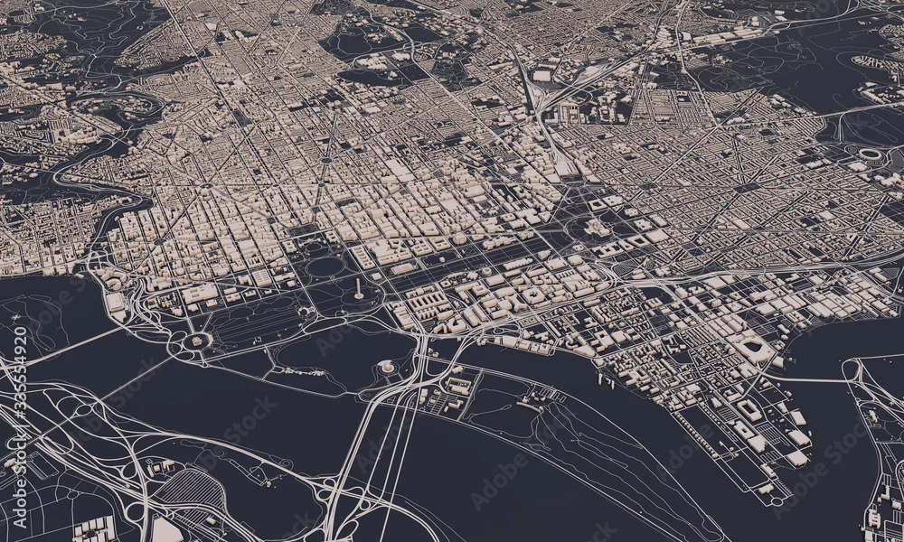
Washington DC city map 3D Rendering. Aerial satellite view.
Washington DC city map 3D Rendering. Aerial satellite view.
by
ink drop
DIMENSIONS
5000 x 3000px
FILE TYPE
JPEG
CATEGORY
Buildings and Architecture
LICENSE TYPE
Standard
or
Extended
Standard License
(Free trial)
Extended License
(US$79.99)
Download with free trial
Download with free trial
SIMILAR KEYWORDS
washington
capital
state
capitol
landmark
memorial
city landscape
government
congress
political
america
city
map
aerial
satellite
travel
building
view
area
atlas
background
borough
cartography
country
design
destination
district
downtown
earth
geography
illustration
location
navigation
road
route
street
town
transportation
urban
architecture
building
skyscraper
graphic
visualisation
model