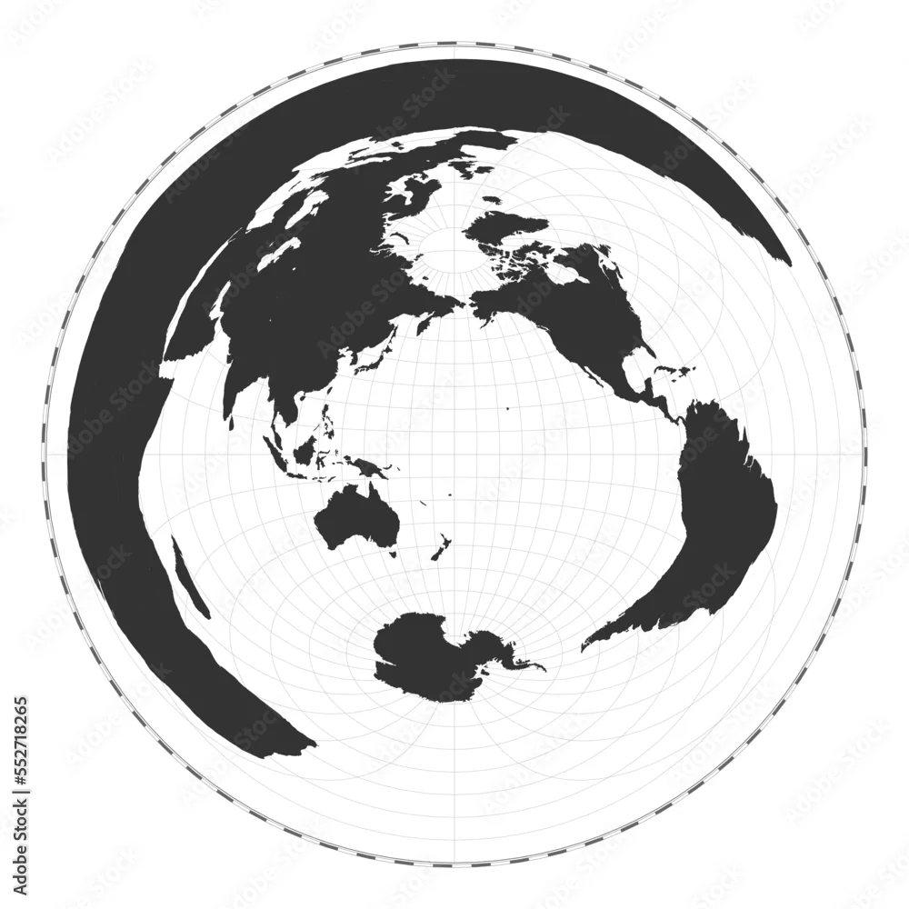
Vector world map in azimuthal equidistant projection. Geographical map with latitude and longitude lines, centered at 180 degrees longitude. Vector i ...
Vector world map in azimuthal equidistant projection. Geographical map with latitude and longitude lines, centered at 180 degrees longitude. Vector illustration.
by Eugene Ga
Vector and JPEG files included with both licenses
|