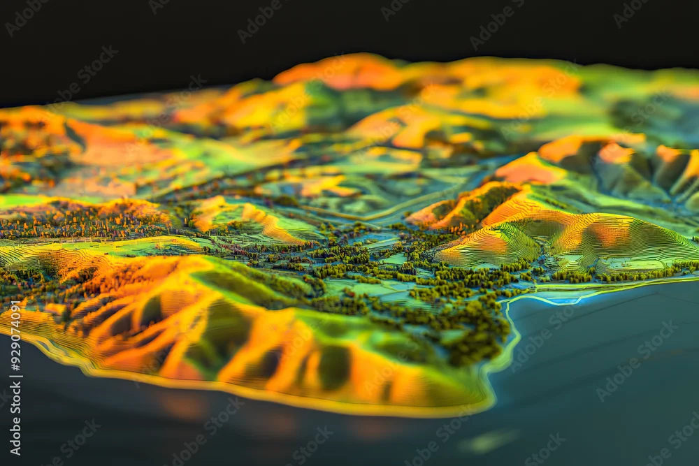
Technical aerial visual, 3D LiDAR GIS aerial map satellite scan model isolated, showing Temecula. Elevation, topography, render
Technical aerial visual, 3D LiDAR GIS aerial map satellite scan model isolated, showing Temecula. Elevation, topography, render
Generated with AI
Editorial use must not be misleading or deceptive.