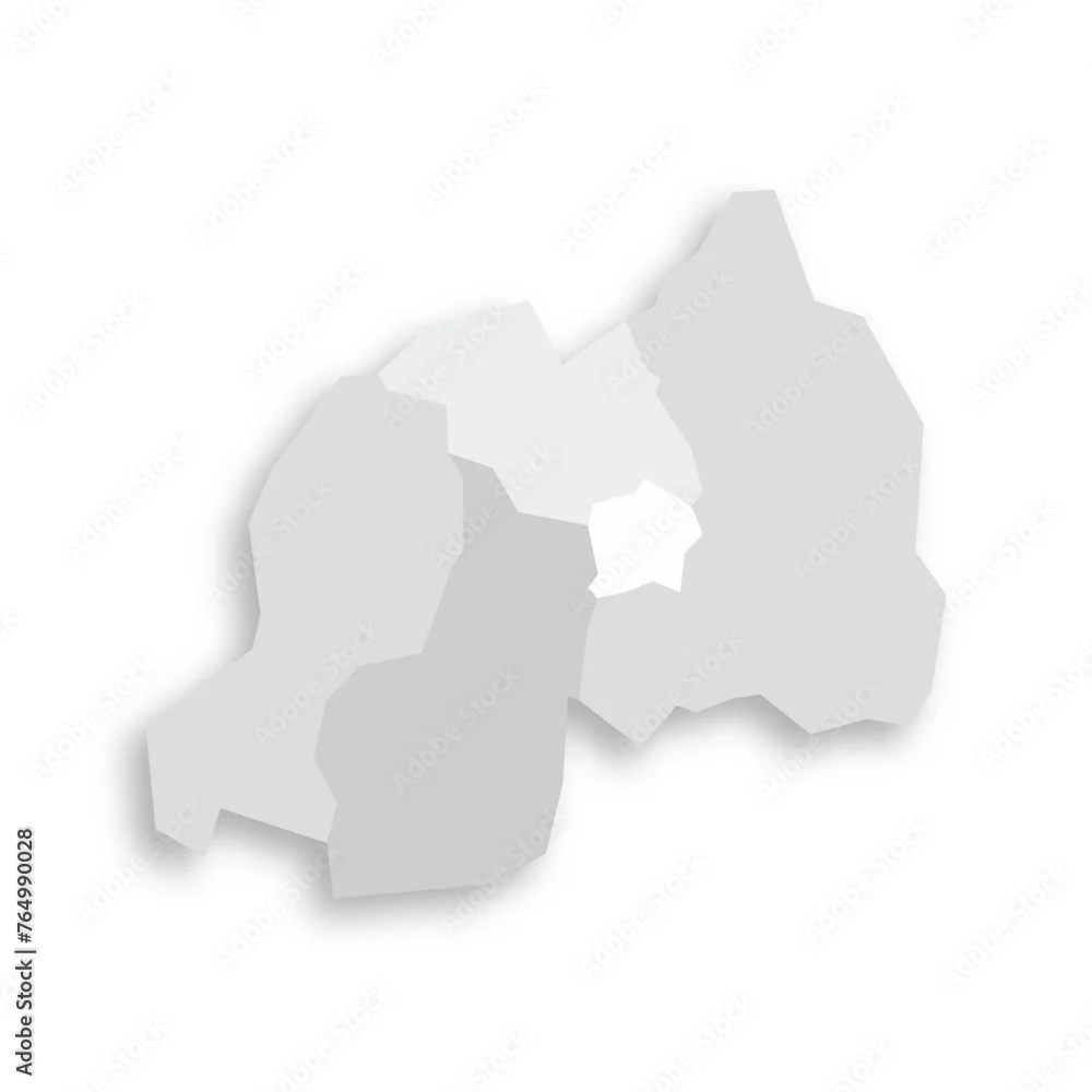
Rwanda political map of administrative divisions - provinces. Grey blank flat vector map with dropped shadow.
Rwanda political map of administrative divisions - provinces. Grey blank flat vector map with dropped shadow.
by pyty
Vector and JPEG files included with both licenses
|