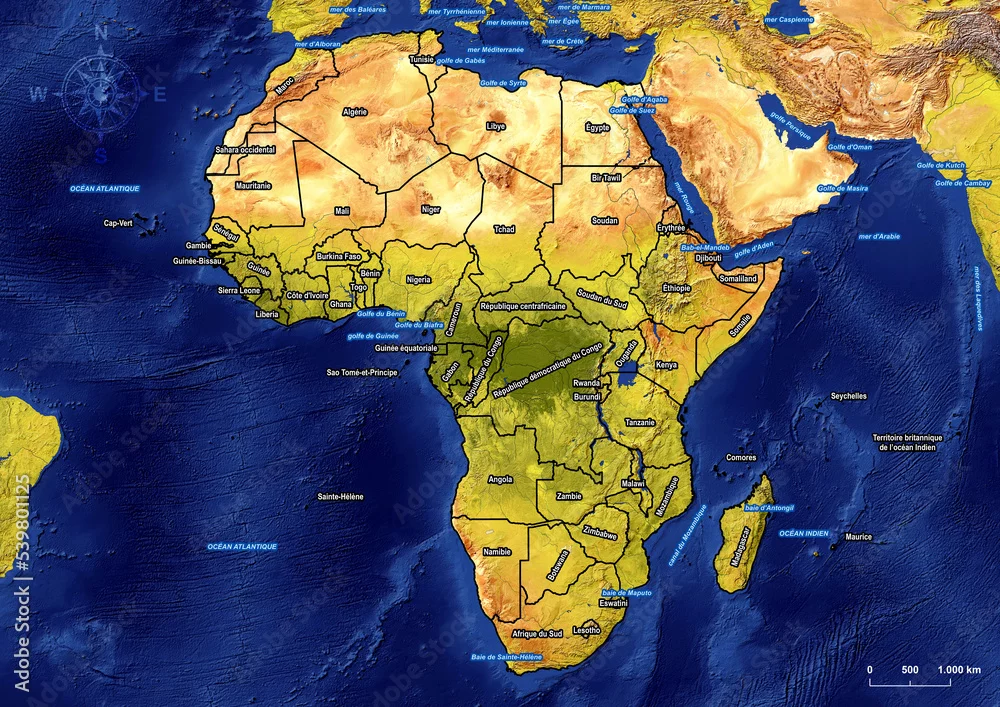
Political Map of Africa with marine areas in french on large and detailed satellite image (Satellite-derived land cover data with Shaded Relief, Water, ...
Political Map of Africa with marine areas in french on large and detailed satellite image (Satellite-derived land cover data with Shaded Relief, Water, and Drainages). Source: NaturalEarth.
by Ricardo