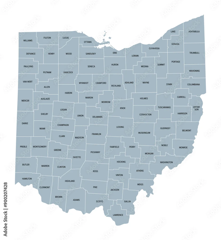
Ohio counties, gray political map with borders and county names. State in the Midwestern region of the United States, subdivided into 88 counties. Nicknamed ...
Ohio counties, gray political map with borders and county names. State in the Midwestern region of the United States, subdivided into 88 counties. Nicknamed Buckeye State, and Heart Of It All.
Vector and JPEG files included with both licenses
|