Videos
Images
Templates
Audio
Customize (Preview)
Pricing
Sell
Main menu
Adobe Stock
Videos
Images
Templates
Audio
Customize (Preview)
Sell
Pricing
All
Images
Videos
Audio
Templates
3D
Free
Premium
My Libraries
Save to Library
Download Preview
...
Save to Library
Download Preview
File #:
712145508
Find Similar
Report Issue
Transparent PNG available
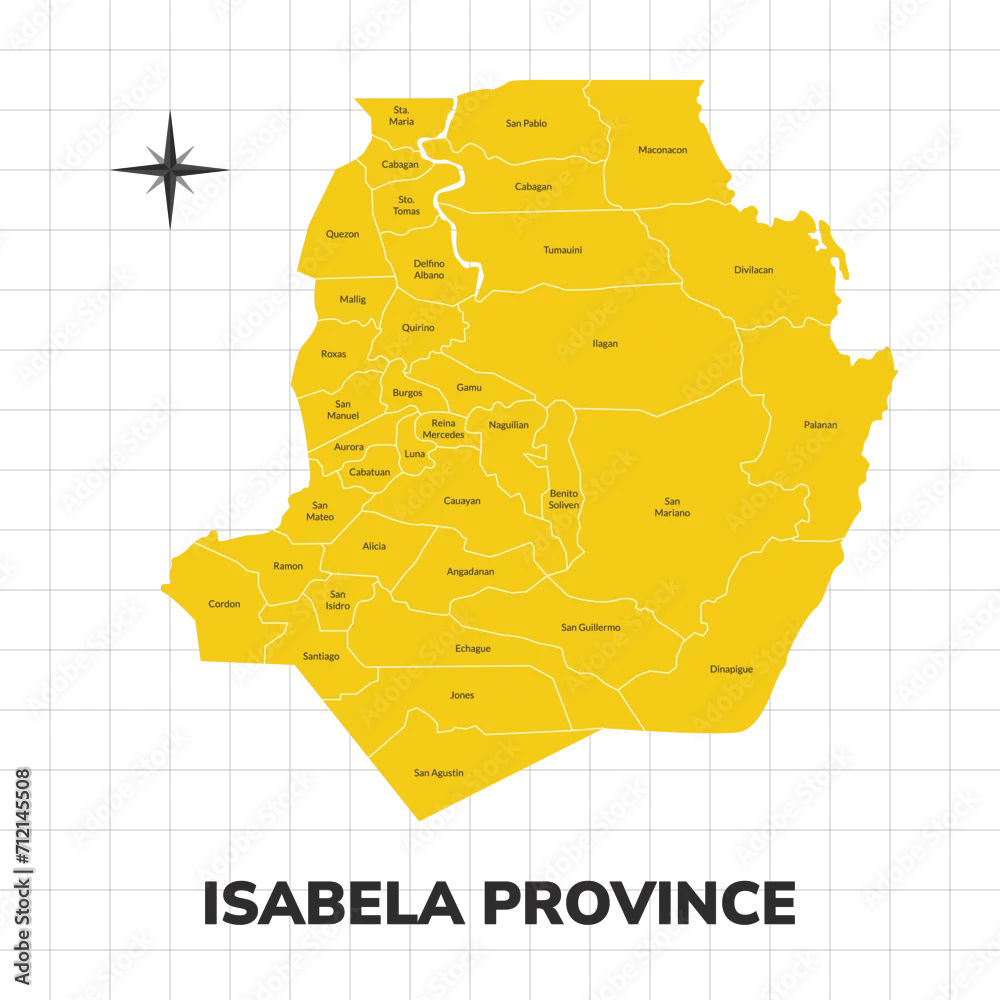
Isabela Province map illustration. Map of the province in the Philippines
Isabela Province map illustration. Map of the province in the Philippines
by
Cikal Studio
FILE TYPE
AI/EPS, JPEG and PNG
CATEGORY
Transport
LICENSE TYPE
Standard
or
Extended
Standard License
(Free trial)
Extended License
(US$79.99)
Download file type:
ai/eps
jpeg
png
Download with free trial
Download with free trial
SIMILAR KEYWORDS
area
asia
asian
atlas
cartography
city
continent
contour
country
design
district
division
earth
flat
geography
global
globe
graphic
icon
illustration
infographic
island
isolated
land
line
location
map
modern
nation
national
oceania
outline
province
region
shape
silhouette
state
symbol
territory
town
travel
vector