Videos
Images
Templates
Audio
Customize (Preview)
Pricing
Sell
Main menu
Videos
Images
Templates
Audio
Customize (Preview)
Sell
Pricing
All
Images
Videos
Audio
Templates
3D
Free
Premium
My Libraries
Save to Library
Download Preview
...
Save to Library
Download Preview
File #:
385831286
Find Similar
Report Issue
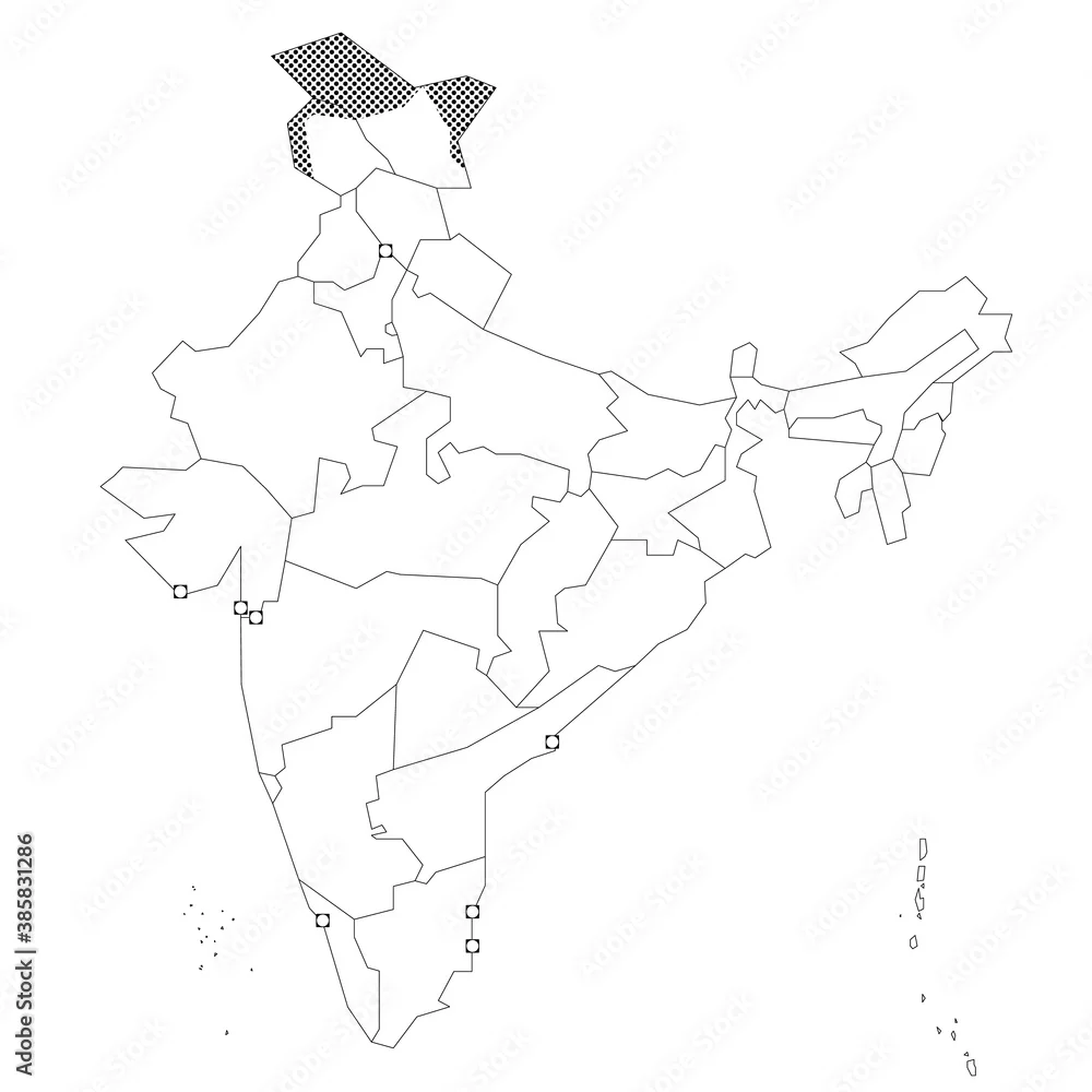
India - blank political map of administrative divisions
India - blank political map of administrative divisions
by
pyty
FILE TYPE
AI/EPS and JPEG
CATEGORY
Graphic Resources
LICENSE TYPE
Standard
or
Extended
Standard License
(Free trial)
Extended License
(US$79.99)
Vector and JPEG files included with both licenses
|
Settings
Download with free trial
Download with free trial
SIMILAR KEYWORDS
india
map
vector
country
border
geography
design
state
travel
region
illustration
graphic
cartography
administrative
area
division
indian
outline
asia
abstract
simplified
simple
infographic
chart
territory
ladakh
district
province
delhi
boundary
land
contour
silhouette
shape
federal
wallpaper
national
region
regional
political
flat
kashmir
county
geographical
union
black
blank