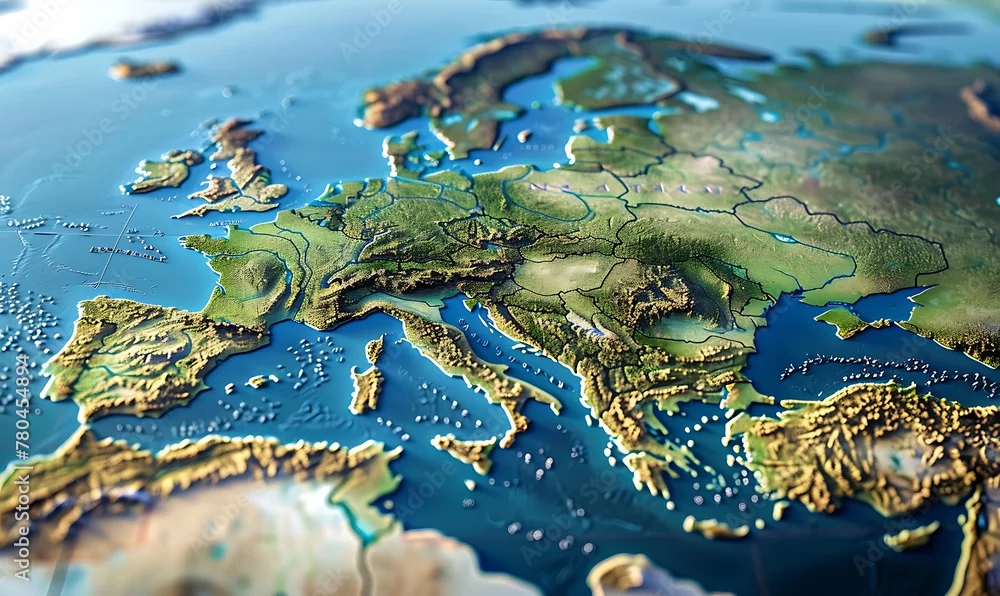
High-res physical map showcasing Western Europe's terrain. Detailed satellite view of Earth's geography and topography in 3D
High-res physical map showcasing Western Europe's terrain. Detailed satellite view of Earth's geography and topography in 3D
Generated with AI
Editorial use must not be misleading or deceptive.