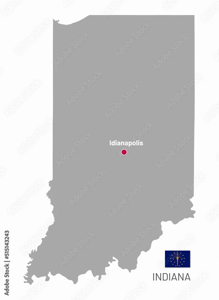
Gray map of Indiana, federal state of USA. Silhouette of Indiana abstract outline editable map with borders and flag of federal state realistic vector ...
Gray map of Indiana, federal state of USA. Silhouette of Indiana abstract outline editable map with borders and flag of federal state realistic vector illustration
by Sunflower
Vector and JPEG files included with both licenses
|