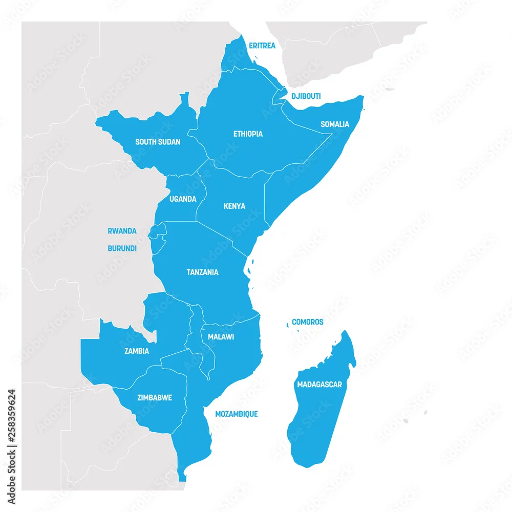
East Africa Region. Map of countries in eastern Africa. Vector illustration
East Africa Region. Map of countries in eastern Africa. Vector illustration
by pyty
Vector and JPEG files included with both licenses
|Vector and JPEG files included with both licenses
|