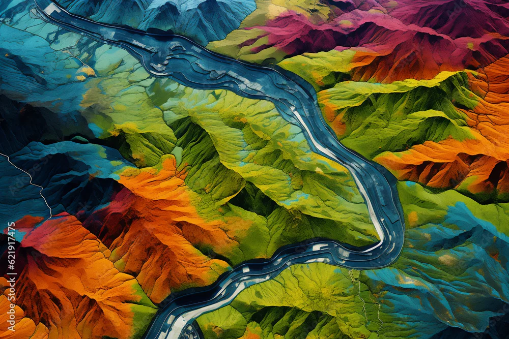
Digital elevation model. GIS product made with generative AI technology. It shows high rocky and steep mountain peaks. At their feet are visible valleys ...
Digital elevation model. GIS product made with generative AI technology. It shows high rocky and steep mountain peaks. At their feet are visible valleys and mountain lakes
by Ungrim
Generated with AI
Editorial use must not be misleading or deceptive.