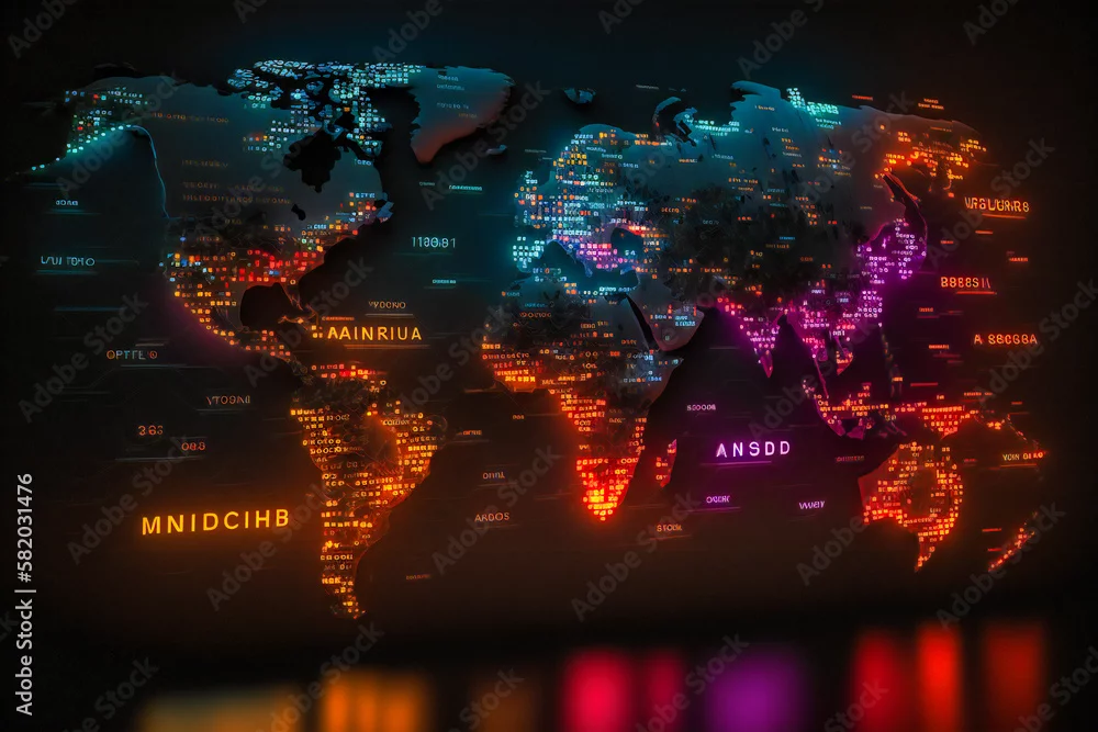
An interactive map displaying real-time data from around the world, with color-coded markers representing different metrics
An interactive map displaying real-time data from around the world, with color-coded markers representing different metrics
by Nilima
Generated with AI
Editorial use must not be misleading or deceptive.