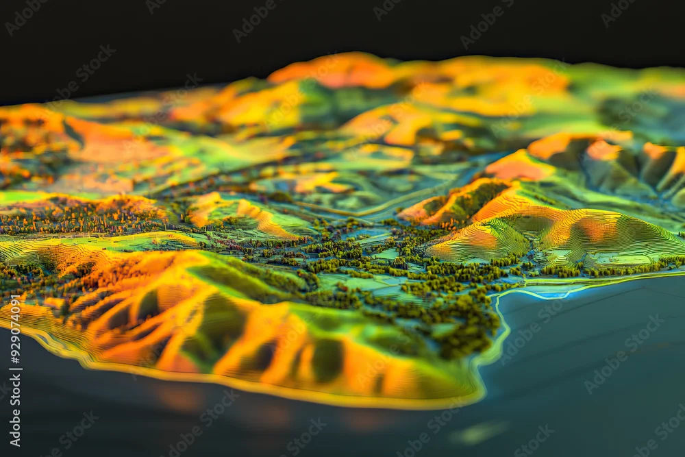
Technical aerial visual, 3D LiDAR GIS aerial map satellite scan model isolated, showing Temecula. Elevation, topography, render
Technical aerial visual, 3D LiDAR GIS aerial map satellite scan model isolated, showing Temecula. Elevation, topography, render
par Goodwave Studio
Généré à l’aide de l’IA
L’utilisation éditoriale ne doit être ni mensongère ni trompeuse.
DIMENSIONS
6720 x 4480 px
TYPE DE FICHIER
JPEG