Vector isolated the UK map of Great Britain and Northern Ireland. Silhouette map of Scotland, England, Wales, Northern Ireland, Ireland. The United Kingdom ...
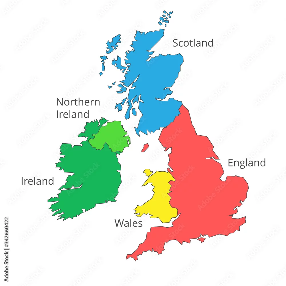
Vector isolated the UK map of Great Britain and Northern Ireland. Silhouette map of Scotland, England, Wales, Northern Ireland, Ireland. The United Kingdom map with names of countries.
by Igor
Vector and JPEG files included with both licenses
|